Heavy storms, possible flooding expected for NYC area Monday amid ‘tropical-like’ air
July 14, 2025, 8:05 a.m.
Some areas could see up to 3 inches of rain, according to the National Weather Service.
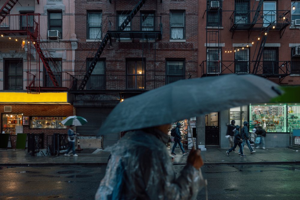
A “tropical-like” air mass could yield heavy showers, thunderstorms and wind gusts Monday across the New York City region, the National Weather Service said.
A flood watch is in effect from 2 p.m. until midnight for the five boroughs, northeast New Jersey, the lower Hudson Valley and southwest Connecticut. Meteorologists are predicting between 1 to 3 inches of rain in some areas.
“Any of these thunderstorms could be strong … [and] result in flooding,” NWS’ Dominic Ramunni said.
The chances of flooding are higher in North Jersey, but the city is also under threat for significant thunderstorms, he said.
The rain is forecast to taper off later Monday, though some showers could linger Tuesday. City officials are warning New Yorkers to avoid flooded roadways and move to higher ground during heavy rain.
Showers and thunderstorms develop later today, and heavy downpours could result in flooding.
— NWS New York NY (@NWSNewYorkNY) July 14, 2025
Flood Watch in effect for portions of the area from 2 PM until midnight.
Forecast: https://t.co/wTqdsomHTB pic.twitter.com/Mdrmt2Qlbq
Ramunni said the region is expected to warm up later this week, with highs Tuesday in the mid- to upper-80s.
Wednesday’s and Thursday’s highs could be in the 90s — and high humidity levels may make it feel as hot as 100 to 105 degrees.
“That little extra humidity factor is really going to be noticeable mid-week when it combines with the heat,” Ramunni said.
NY officials hope high-tech risk center will improve response to extreme weather