‘Crisper feel’: Cooler temps, low humidity forecast in NYC through Labor Day
Aug. 26, 2025, 11:17 a.m.
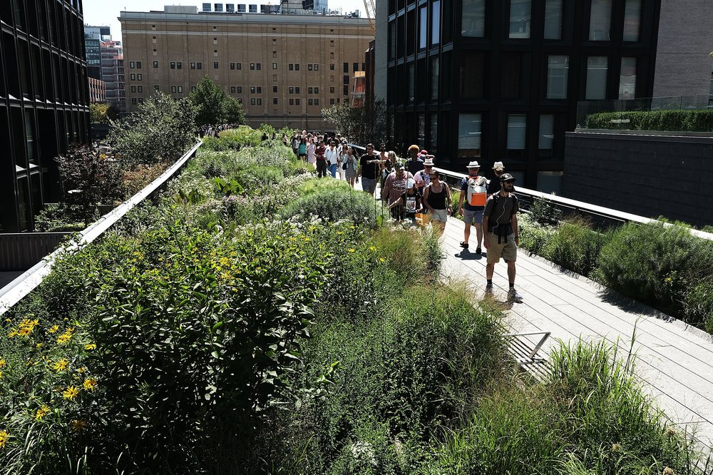
The unofficial end of summer is looking tranquil and largely dry weather-wise.
August is going out like a lamb after some scorching heat waves earlier this summer.
The summer's unofficial end is looking cool and dry as Labor Day nears, according to the National Weather Service. Temperatures this week are generally expected to top out in the mid-to-upper 70s, with low humidity levels making for comfortable climes.
As of now, those conditions will likely persist through the holiday weekend, except for a period Friday when a passing cold front will bring chances of showers.
“It’s already been a relatively dry summer so far actually, we’re sort of closing meteorological summer here on the same note,” NWS meteorologist Dominic Ramunni said. “We might even be a few degrees below normal a couple of days this week.”
Comfortable and pleasant conditions are expected across the Tri-State today!
— NWS New York NY (@NWSNewYorkNY) August 26, 2025
Temperatures top out near 80 this afternoon, and a drier air mass in place makes it feel less humid than previous days. #NYwx #CTwx #NJwx pic.twitter.com/XYWyYSmMRi
A “crisper feel” in the air will coincide with temperatures as low as the upper 50s some mornings and as high as the upper 60s most nights, Ramunni said. A light jacket or sweater may be in order for the outdoors, he added.
Beach conditions are anticipated to be normal after Hurricane Erin caused dangerous rip currents, large waves and coastal flooding last week, according to the NWS. New York City beaches remain open through Sept. 7.
NYC area could get 13-foot waves, coastal flooding due to Hurricane Erin impacts